Having crossed the initial hurdles with the first version of NOCAS, the second round will aim at being more robust, flexible and user-friendly with a better implementation of the colour-coded zonal maps for height clearance, among other improvements.
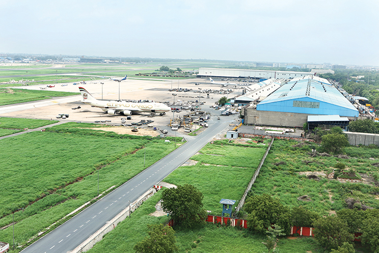
The apex body for maintaining civil aviation infrastructure in India, the Airports Authority of India (AAI) is the Air Navigation Service Provider (ANSP) in the country and manages the 129 airports. It also provides the aerodrome safeguarding at all the civil airports in India including the Delhi, Mumbai, Hyderabad and Bengaluru airports run by joint venture companies in a public private partnership mode.
As such, the AAI developed NOCAS version 1.0 in 2011 to automate its aerodrome safeguarding system for accepting online applications for height clearance of the build environment around the airports and also to calculate the permitted safe heights as per the ICAO Annex 14 Obstacle Limitation Surfaces (OLS) and Annex 10 to protect the Communication, Navigation and Surveillance (CNS) facilities.
NOCAS or the No Objection Certificate Application System went digital with AAI devising a software Called NOCAS 2.0 wherein applicants can seek permission for height clearance online and check status and get approval with the click of a button. The version 2.0 has automated all phases of height determination.
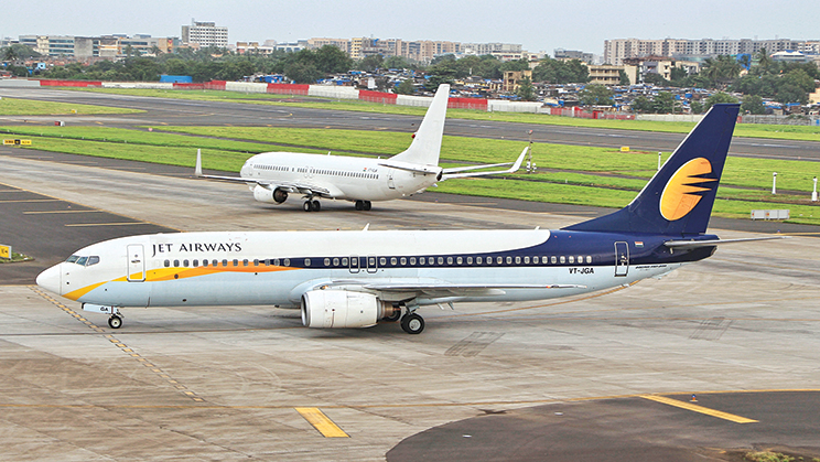
Height clearance remains an important component for aircraft as structures which includes buildings, bill boards, high mast lights, power transmission towers having more than permissible height can pose serious danger to aircraft especially during its take-off and landing phases.
Code Red
The AAI has developed the Colour Coded Zoning Map (CCZM) for major airports in India. The CCZM depicts the Permissible Top Elevation (PTE) for a grid in a particular coloured zone. The purpose of CCZM is to empower local bodies to clear the building proposals requesting top elevation below CCZM elevation, without referring to the AAI. The maximum elevation that can be approved through CCZM is up to 150m; if the requested top elevation is above 150m, applicants have to apply online on NOCAS.
Presently, 30 airports across different cities have been included in the Colour Coded Zoning Map (CCZM). This includes the airports in Ahmedabad, Amritsar, Aurangabad, Agartala, Bengaluru and HAL, Bhopal, Bhubaneswar, Calicut, Chennai, Kochi, Coimbatore, Delhi, Dimapur, Guwahati, Hyderabad and Shamshabad, Indore, Jaipur, Kolkata, Kota, Lucknow, Madurai, Mangalore, Mumbai and Navi Mumbai, Nagpur, Patna, Puducherry, Ranchi, Surat, Thiruvananthapuram, Vijayawada and Vadodara.
The Application
The application for issuance of No Objection Certificate in respect of civil aerodromes (including licensed state owned and private aerodromes) shall be made by the applicant to the designated officer through the No Objection Certificate Application System (NOCAS), accessible on the website of the Airports Authority of India.
An applicant has to register first. On registration, e-mail address will be verified. After the successful registration, online NOC application can be filed. The entire process is thereby paperless.
NOCAS carries out automated calculations for the Permissible Top Elevation (PTE) based on AGA, CNS and PANS-OPS criteria using the site coordinates provided by the applicant. NOCAS has a map feature which is available to the applicant as well as the AAI user. The AAI users will be able to analyse the proposed sites with respect to the airports and various protection surfaces with the help of GIS tools available in NOCAS. These maps are downloaded from ESRI online map service.
Involvement of Local Bodies
NOCAS 2.0 was brought to action after taking considerate feedback from the local bodies and real estate industry.
For instance, NOCAS has already been integrated with Municipal Corporation of Delhi, Municipal Corporation of Greater Mumbai and Ranchi Municipal Corporation. Builders/applicants from these areas need not to apply directly to the AAI for the NOC. The NOCAS will interact with Urban Local Bodies (building approval) Portals and fetch the required data to populate the NOC application at NOCAS. The assessment of height will also be intimated to the ULB portal online.
Thus, the aim now is to integrate NOCAS with many other ULBs throughout India for a transparent, hassle free process of ensuring flight safety.
Auto Settle Criteria
The height determination applications will be automatically settled by the system within minutes of filing if the site lies in the auto settle filter zone as decided by the aerodrome safeguarding authority.
The Airports Authority of India auto settle criteria is as below:
- The location of the proposed structure is beyond 20 km from VFR (Visual Flight Rules) airports or beyond 56 km from the IFR (Instrument Flight Rules) airports
- For airports /cities where Colour Coded Zoning Map (CCZM) have been issued by the AAI if the requested height of the proposed structure is equal to or below the height permitted in CCZM
- Wireless telecom masts will be auto settled if the mast is beyond 20 km from the IFR airport and below 100 m in height
- Wireless telecom masts will be auto settled if the mast is beyond 10 km from the VFR airport and below 100m in height For auto settled cases, system generated letter (without signature), stating that No Objection Certificate (NOC) from the AAI is not required and the reason thereof, will be issued automatically.